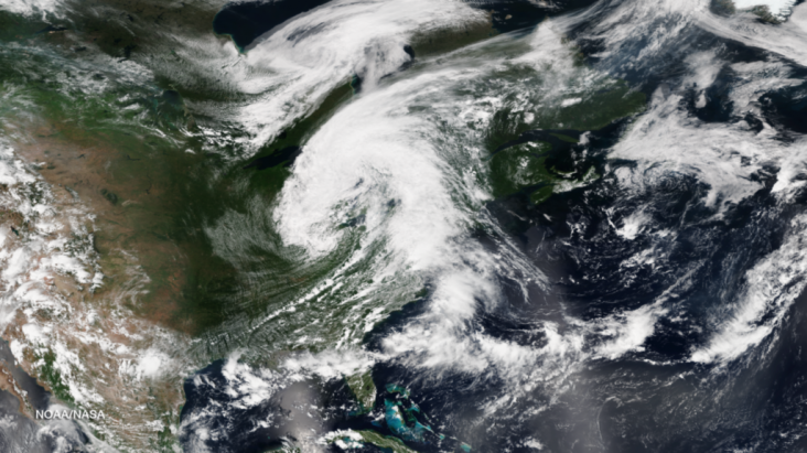
Strong Cold Front Drops Historic Rains

The threat for heavy rains and flash flooding will continue Wednesday, August 13, 2014, ahead of an unseasonably strong cold front steadily pushing through the northeastern U.S. The tail end of the front could cause showers and thunderstorms along the Gulf Coast and across Florida. Baltimore/Washington International Airport recorded 2.7 inches of rain in the 1:00pm EST hour and 6.3 inches overall for August 12. Metro Detroit recorded more than 4 inches of rain on Monday causing widespread flooding. This image was taken from several orbits of the Suomi NPP satellite during the daylight hours of August 12, 2014
Bron: NOAA

 Maryland zwaar getroffen door overstromingen


