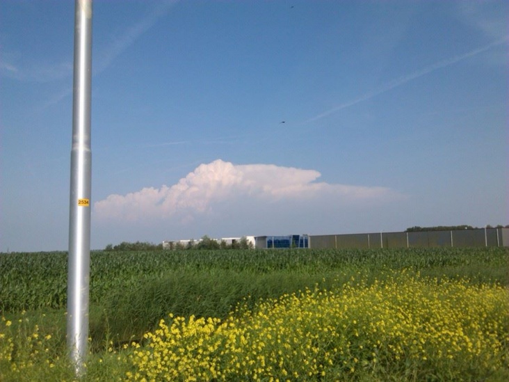
http://www.onweer-online.be/forum/topic/40071/onweerskansen-algemeen-seizoen-2014/431796/#message433083
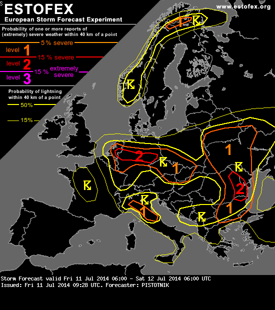
A level 1 and level 2 were issued for North-Central Europe mainly for excessive precipitation and to a lesser extent for severe wind gusts.
SYNOPSIS
A complex upper-level low still governs the weather over much of Europe. Its individual centers move from the Channel into Southern France, from Bosnia into Western Romania and from Lithuania into Northern Poland, respectively. The former two also induce weak surface cyclogeneses ahead of their paths in response to travelling vorticity maxima aloft.
While cool air is present in the range of these upper-level low centers, very warm air from Turkey spreads over the Black Sea, the Ukraine and Belarus. A moderate mid-level jet surrounds the upper-level low to the South and stretches from Southern Itay across the Eastern Mediterranean to the Black Sea.
Anticyclonic influence dominates from Iberia across the British Isles into Scandinavia.
. Central Europe ...
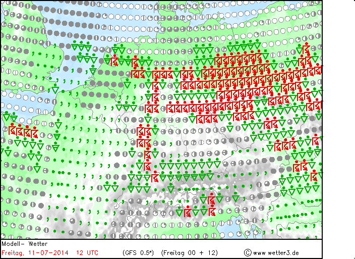
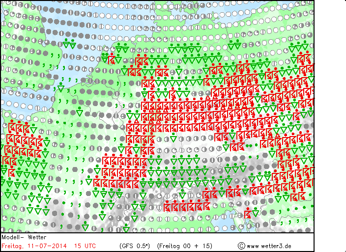
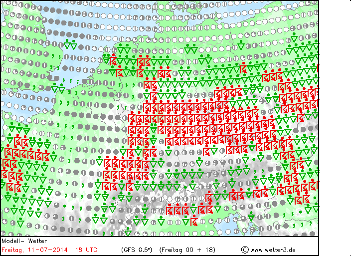
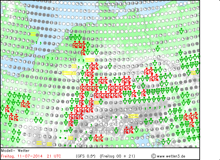
Setup is very similar to the day before in the enclave of warm and moist air that is centered over the Netherlands and much of Germany. CAPE up to 1000 J/kg will quickly build again in response to diurnal heating, and widespread thunderstorms will form in the afternoon and evening. Weak vertical wind shear will mostly preclude a better organization, but upscale growth into numerous large clusters is likely. With very slow motion and precipitable water in excess of 30 mm, another round of quite numerous flash floods is suspected. Cold pool formation in large clusters may also result in a few swaths of severe wind gusts.
Highest coverage of storms can be expected along the main convergence zone which runs from the Central Netherlands across North-Central Germany into Bohemia and the bordering region between Austria and Slovakia, only very slowly moving towards the Southwest. Especially along this convergence, also one or two non-mesocyclonic tornadoes may spin up.
The advection of drier and cooler air will gradually start to quench activity from the Northeast towards evening.
Onweer 2015: 14x
Onweer 2016: 10x
Onweer 2017: 12x
Onweer 2018: 14x
Onweer 2019: 15x
Onweer 2020: 8x
Onweer 2021: 11x
Onweer 2022: Niet bijgehouden
Onweer 2023: 20x
Onweer 2024: 10x 31-3 een paar flinke flitsen en donders, 15-4 3 donders, 30-4 donders en bliksems in de verte. 2-5 flinke donders en bliksem 19-5 uren lang gerommel, uiteindelijk een paar flinke donders. 21-5 Een aantal lekkere donders. 26-5 donders 9-7: matig, zware donders 23-7 vele zware diepe ' bass' donders 7-8 Een diepe donder

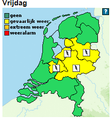
 Onweerskansen week 28

 | Gewijzigd: 11 juli 2014, 07:29 uur, door Jo Capelle


